Built before 1990: asbestos survey before renovating
Free preview
What the record says
Built 1976.
What it means
Buildings from before 1990 can contain asbestos in drywall compound, flooring, insulation and stucco. The City asks for a hazardous materials survey before it permits renovation or demolition of these buildings.
What to do
Budget for a hazardous materials survey and, if asbestos is found, removal by a certified contractor before any renovation.
The full report explains every finding like this one.
Check
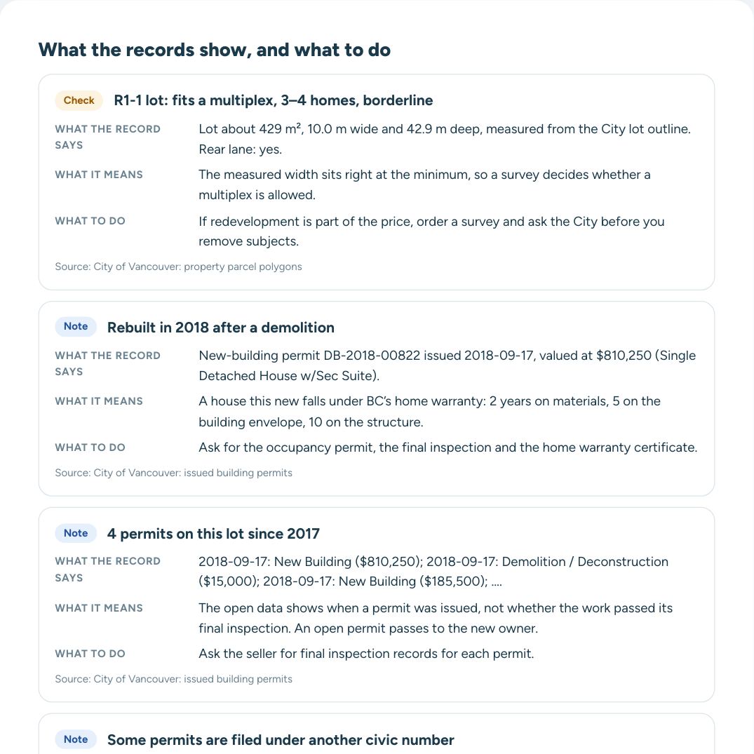
R1-1 lot: fits a multiplex, 3–4 homes, borderline
What it means and what to ask
What the record says
What it means
What to do
What the record says, what it means for a buyer and what to ask the seller: for this finding and every other one, in the full report.
Assessed at $3,271,000 for 2026 (+1% on 2025). One of the highest assessed houses on E 30th Ave, above 94% of them. The lot is larger than 70% of the lots in Riley Park. 1 building permit since 2017. The latest, from Dec 2022: addition or alteration, single detached house ($335,000). School catchment: Brock Elementary and Sir Charles Tupper Secondary. King Edward Station is 1.7 km away.
Read every record and what to do next
Each finding explained, full permit and value history, questions for the seller and a PDF for your agent.
Rezoning applications within 800 m: in the full report.
In Riley Park, the City issued 139 new-building permits and 102 demolition permits in the last two years. About the neighbourhood
Questions about 527 E 30th Ave
What is 527 E 30th Ave assessed at?
$3,271,000 for 2026, from BC Assessment through the City’s property tax report.
When was 527 E 30th Ave built?
In 1976, according to BC Assessment. A major improvement is recorded in 2005.
What is the zoning of 527 E 30th Ave?
It is zoned R1-1 under the Vancouver Zoning and Development By-law. More
What can be built at 527 E 30th Ave?
Under R1-1 the lot appears to fit a multiplex, 3–4 homes, right at the minimum size, so a survey decides. It has a rear lane, which a laneway home needs. More
Is 527 E 30th Ave in a floodplain?
No. It is outside the floodplains designated by the City of Vancouver. More
Is 527 E 30th Ave on the Heritage Register?
No. It is not listed on the Vancouver Heritage Register. More
Can 527 E 30th Ave be rented short term (Airbnb)?
Only as the owner’s or tenant’s principal residence, with a City business licence and a provincial registration number; a second home or investment unit cannot be rented for less than 90 days. More
What building permits has 527 E 30th Ave had?
The City has issued 1 permit since 2017. The latest, from Dec 2022: addition or alteration ($335,000). More
Which schools serve 527 E 30th Ave?
Elementary: Brock Elementary. Secondary: Sir Charles Tupper Secondary. Placement depends on space: confirm with the school.
How far is the nearest SkyTrain station from 527 E 30th Ave?
King Edward Station is 1.7 km away in a straight line.
We use cookies the site needs to work. With your OK, we also use Google analytics and advertising cookies to measure visits and improve our ads. Cookie policy