Check
#2 – 1183 W 33rd Ave, Vancouver, BC
Strata unit #2 at 1183 W 33rd Ave: assessed at $0 in 2026. A 3-unit strata building, built 1926 on a 765 m² R1-1 lot with a rear lane.
Unit assessed 2026
$0
Change from last year
—
Strata lot
2
Built
1926
1 to check5 notes2 clear
Unit #2
UnlockAssessed 2026$0
Strata lotLot 2, plan EPS12471
Value history, 1 years
Property tax, year by year
Permits filed under this unit numberNone since 2017
What the records show for the building at 1183 W 33rd Ave
Note
Rebuilt in 2024 after a demolition
Note
R1-1 lot: fits a multiplex, 6 homes (8 if all rental)
Note
Typical unit assessed at $5,439,600
Note
Built before 1990: asbestos survey before renovating
Note
Strata building, 3 units, built 1926
Clear
Not on the Heritage Register
Clear
Outside the City floodplain
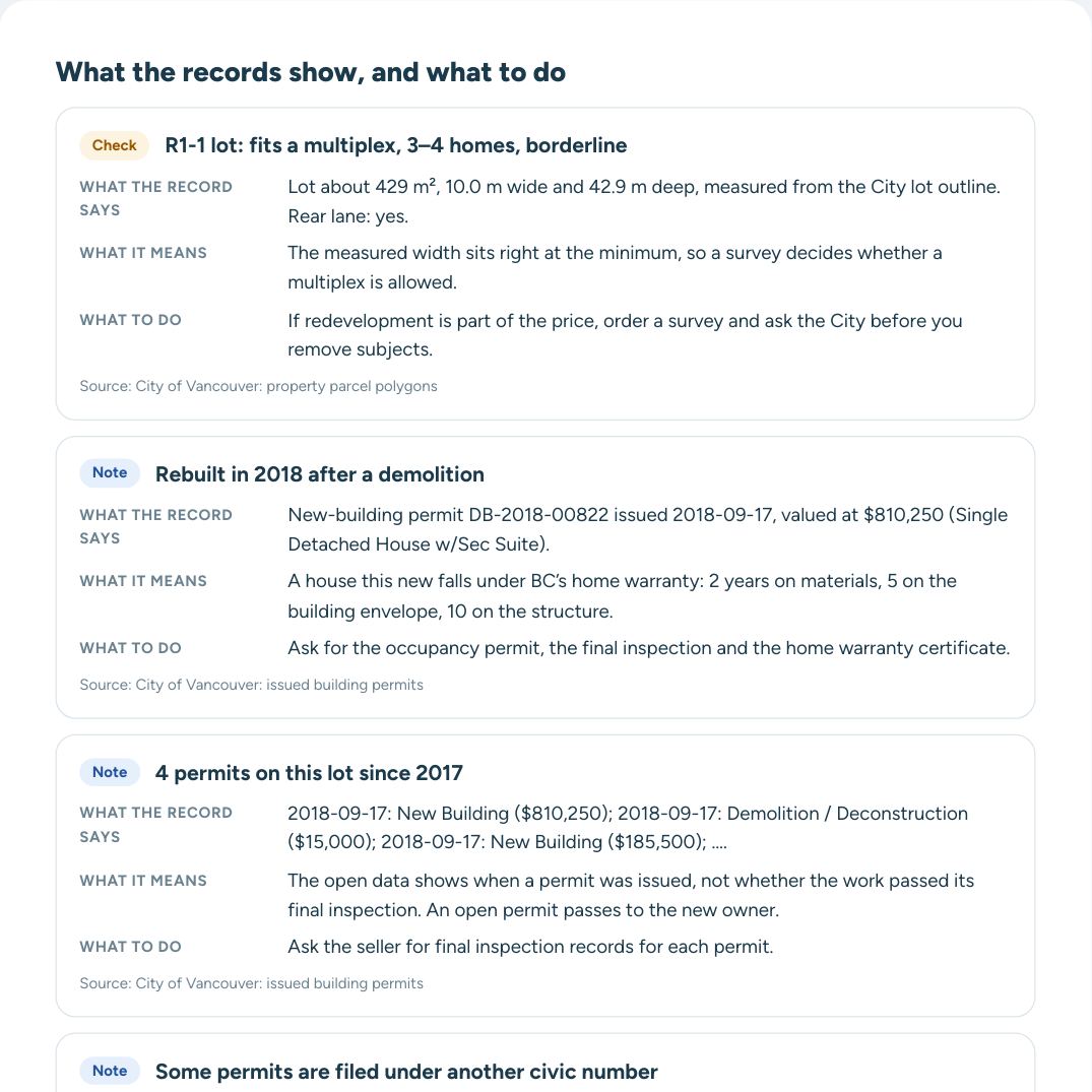
What the full report adds to each finding
- What the record says, with its date and number
- What it means for a buyer
- What to ask the seller and your realtor
- The source of every line
Street view
About #2 – 1183 W 33rd Ave
Older than 63% of the buildings on W 33rd Ave. Units are assessed from $5,439,600 to $5,439,600; the typical unit is $5,439,600. Rebuilt after a 2024 demolition. School catchment: Shaughnessy Elementary and Eric Hamber Secondary. King Edward Station is 1.4 km away.
Read every record and what to do next
Each finding explained, full permit and value history, questions for the seller and a PDF for your agent.
Assessment history of #2 – 1183 W 33rd Ave
UnlockWhole building, 3 units: units are assessed from $5,439,600 to $5,439,600, typical unit $5,439,600.
2026$0
Permits on this building · 6 since 2017
UnlockAug 2024 · New building, multiple dwelling$502,600
5 more permits in the full report
Schools and parks near #2 – 1183 W 33rd Ave
Elementary catchmentShaughnessy Elementary
Secondary catchmentEric Hamber Secondary
G F Strong School Program502 m
BC Childrens Hosp School Program502 m
BCCH Eating Disorders School Program502 m
VanDusen Botanical Garden297 m
Devonshire Park378 m
Transit near #2 – 1183 W 33rd Ave
Nearest SkyTrain: King Edward (Canada Line)1.4 km
Southbound Oak St @ W 33 Ave · 17293 m
Northbound Oak St @ W 33 Ave · 17301 m
Southbound Oak St @ Devonshire Cres · 17382 m
Bus routes within 400 m: 17
Street, trees and terrain
City street trees in front2 · Japanese Snowbell, Pissard Plum
Ground elevation≈ 84 m above sea level
Slope across the lotFlat, about 1 m
Nearest arterial roadOak St, 292 m
Crime near #2 – 1183 W 33rd Ave
Unlock
Crime near #2 – 1183 W 33rd Ave
UnlockIncidents within 400 m in the last 12 months, by type: in the full report.
Rezoning and development nearby
Unlock
Rezoning and development nearby
UnlockWithin 300 m in the last two years: 6 new-building permits and 3 demolition permits.
New buildings nearby:
- 4626 Selkirk St Feb 2026
- 1343 W 33rd Ave Mar 2025
- 1127 W 32nd Ave Jan 2025
- 1009 W 32nd Ave Oct 2025
Rezoning applications within 800 m: in the full report.
In Shaughnessy, the City issued 79 new-building permits and 43 demolition permits in the last two years. About the neighbourhood
Questions about #2 – 1183 W 33rd Ave
What is #2 – 1183 W 33rd Ave assessed at?
$0 for 2026, from BC Assessment through the City’s property tax report.
What is the strata lot number of #2 – 1183 W 33rd Ave?
Strata lot 2 on strata plan EPS12471.
When was #2 – 1183 W 33rd Ave built?
In 1926, according to BC Assessment. A major improvement is recorded in 1980.
What is the zoning of #2 – 1183 W 33rd Ave?
It is zoned R1-1 under the Vancouver Zoning and Development By-law. More
Is #2 – 1183 W 33rd Ave in a floodplain?
No. It is outside the floodplains designated by the City of Vancouver. More
Is #2 – 1183 W 33rd Ave on the Heritage Register?
No. It is not listed on the Vancouver Heritage Register. More
What building permits has #2 – 1183 W 33rd Ave had?
The City has issued 6 permits since 2017. The latest, from Aug 2024: new building ($502,600). More
Which schools serve #2 – 1183 W 33rd Ave?
Elementary: Shaughnessy Elementary. Secondary: Eric Hamber Secondary. Placement depends on space: confirm with the school.
How far is the nearest SkyTrain station from #2 – 1183 W 33rd Ave?
King Edward Station is 1.4 km away in a straight line.
Compare #2 – 1183 W 33rd Ave with another address · Watch this address: email me when its records change
Other units in 1183 W 33rd Ave
Units in the building
- #1 —
Full reportEvery record explained · PDF
Unlock $20Checked against City of Vancouver open data on October 21, 2026. How we check · Data sources · Glossary