Serious
425 Columbia St, Vancouver, BC
A freehold property, built 1908 on a 1,691 m² DEOD lot with a rear lane. Older than 62% of the buildings on Columbia St.
Assessed 2026
$28,554,834
Zoning
DEOD
Lot
≈ 1,691 m²
Built
1908
1 serious3 to check6 notes
What the records show for 425 Columbia St
Check
8 permits on this lot since 2017, 1 in the last 3 years
Check
On the Heritage Register, category C
Check
Built 1908: ask about a buried oil tank
Note
Rebuilt in 2023 after a demolition
Note
Some permits are filed under another civic number
Note
Zoned DEOD
Note
Assessed at $28,554,834, +4109% since 2021
Note
Built before 1990: asbestos survey before renovating
Note
On or next to an arterial road (Columbia St)
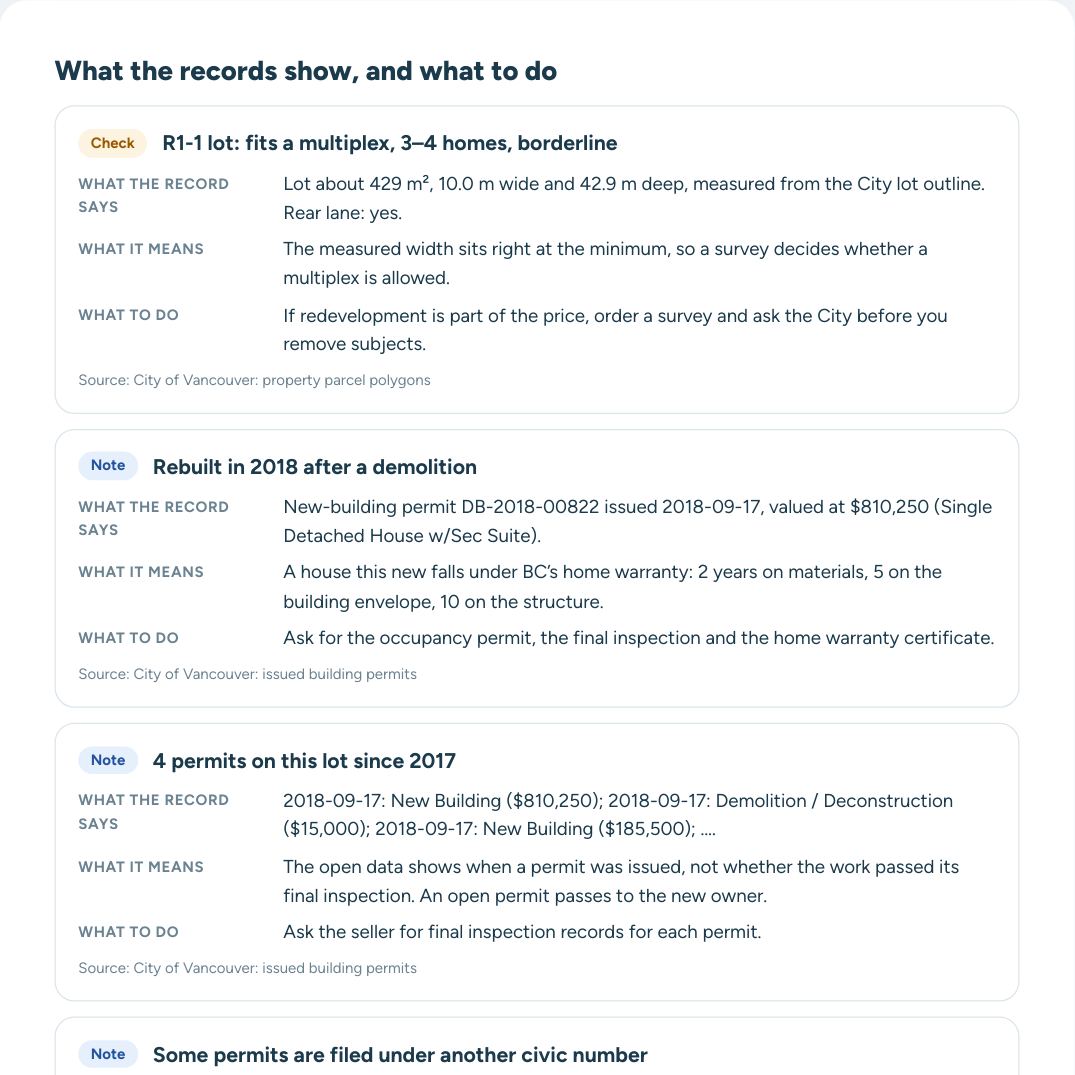
What the full report adds to each finding
- What the record says, with its date and number
- What it means for a buyer
- What to ask the seller and your realtor
- The source of every line
Street view
About 425 Columbia St
Assessed at $28,554,834 for 2026 (+257% on 2025). Assessed higher than 76% of the houses in Downtown. The lot is larger than 73% of the lots in Downtown. Rebuilt after a 2022 demolition. Inside the floodplain. On the Heritage Register. School catchment: šxʷwəq̓ʷəθət Crosstown Elementary and Britannia Secondary. Stadium-Chinatown Station is 510 m away.
Read every record and what to do next
Each finding explained, full permit and value history, questions for the seller and a PDF for your agent.
Permits on this lot · 8 since 2017
UnlockOct 2025 · Addition or alteration, health care office, social service centre$725,000
7 more permits in the full report
The lot and zoning
UnlockSchools and parks near 425 Columbia St
Elementary catchmentšxʷwəq̓ʷəθət Crosstown Elementary
Secondary catchmentBritannia Secondary
Crosstown Elementary386 m
Lord Strathcona Community Elementary832 m
The Westside School865 m
Pioneer Place (Pigeon Park)149 m
Sun Yat-Sen Gardens185 m
Transit near 425 Columbia St
Nearest SkyTrain: Stadium-Chinatown (Expo Line)510 m
Northbound Columbia St @ E Pender St · 5053 m
Eastbound E Pender St @ Carrall St · 19, 22, N19104 m
Westbound E Cordova St @ Columbia St · 50150 m
Bus routes within 400 m: 3, 4, 7, 8, 14, 16, 19, 20, 22, 23, 50, 209, 210, 211, 214, N19, N20, N35, N8, R5
Street, trees and terrain
City street trees in frontNone recorded
Ground elevation≈ 5 m above sea level
Slope across the lotFlat
Nearest arterial roadColumbia St, 37 m
SkyTrain guideway398 m
Railway line318 m
Noise by-law areaSchedule C (Refuse Collection hours in Downtown area)
Crime near 425 Columbia St
Unlock
Crime near 425 Columbia St
UnlockIncidents within 400 m in the last 12 months, by type: in the full report.
Rezoning and development nearby
Unlock
Rezoning and development nearby
UnlockWithin 300 m in the last two years: 3 new-building permits and 6 demolition permits.
New buildings nearby:
- 55 W Hastings St Jan 2026
- 123 Keefer St May 2025
Rezoning applications within 800 m: in the full report.
In Downtown, the City issued 12 new-building permits and 13 demolition permits in the last two years. About the neighbourhood
Questions about 425 Columbia St
What is 425 Columbia St assessed at?
$28,554,834 for 2026, from BC Assessment through the City’s property tax report.
When was 425 Columbia St built?
In 1908, according to BC Assessment. A major improvement is recorded in 1920.
What is the zoning of 425 Columbia St?
It is zoned DEOD under the Vancouver Zoning and Development By-law. More
Is 425 Columbia St in a floodplain?
Yes. It is inside a floodplain designated by the City: Designated Floodplain (FCL 4.6m). More
Is 425 Columbia St on the Heritage Register?
Yes. It is listed on the Vancouver Heritage Register. More
What building permits has 425 Columbia St had?
The City has issued 8 permits since 2017. The latest, from Oct 2025: addition or alteration ($725,000). More
Which schools serve 425 Columbia St?
Elementary: šxʷwəq̓ʷəθət Crosstown Elementary. Secondary: Britannia Secondary. Placement depends on space: confirm with the school.
How far is the nearest SkyTrain station from 425 Columbia St?
Stadium-Chinatown Station is 510 m away in a straight line.
Compare 425 Columbia St with another address · Watch this address: email me when its records change
Other addresses on Columbia St
Full reportEvery record explained · PDF
Unlock $20Checked against City of Vancouver open data on October 25, 2026. How we check · Data sources · Glossary